Aerial Surveillance for mapping
February 12, 2021
As part of a District Aerial Mapping Project, Manawatū-Whanganui Local Authority Shared Services (MWLASS) has contracted Aerial Surveys Ltd to capture rural aerial photography across the Horizons Region this summer. This is a pretty exciting opportunity for Council to update our rural photography, which was last captured in 2015-16 and 2016-17 summers. We’ve been lucky enough to get a decent funding injection from LINZ and Horizons to complete the project.
Council has also engaged Aerial Surveys Ltd individually to undertake some urban aerial photography at a higher resolution than the rural project. The last time we had this done was in 2010-11, so it’s going to be especially good to get an update to the 10-year old imagery. The urban areas include Taihape, Mataroa, Utika, Mangaweka, Ohingaiti, Hunterville, Marton, Bulls, Ratana, Turakina, Koitiata and Scott’s Ferry.
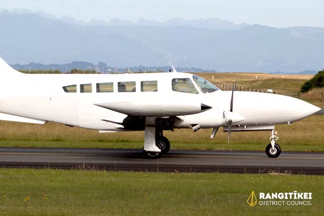
Aerial Surveys Ltd have contracted a small Cessna plane to carry out the survey. The plane will be visible flying over our District. As you can imagine the weather plays a big part in Aerial Survey’s ability to get the plane in the sky and capture high quality images. But because of the decent weather we’ve had over the past weeks, they’ve managed to get up and capture most of our district so far.
Please contact 0800 422 522 (24 hrs) or email: info@rangitikei.govt.nz for more information.